
Walk a Brookfield Street Directory
Begin with one complete address. The goal is to fix its spelling, place it in the right municipality, identify its parcel, and only then consult records tied to that parcel or address. Brookfield is a key case because the City of Brookfield and Town of Brookfield are separate governments. The same postal city can appear on both sides of that line.
- Check the address through the official USPS lookup. Keep the unit, direction, street type, postal city, and ZIP exactly as returned.
- Search the City interactive map by house number and street name. In county GIS, confirm the municipality code is BRC for the City, not BKFT for the Town.
- Open Waukesha County Tax Listing. Save the tax key, situs address, dated owner label, and legal description.
- Use the legal description in the Register of Deeds index. Recorded parties and transfers establish interests in land, not who slept at the address.
- For civic context, use MyVote's address mode. For older occupancy clues, use dated maps, directories, newspapers, and census schedules.
This street-by-street chain prevents a common mistake: treating one list as a complete household roll. Keep a source date beside each result because parcels, assessment labels, wards, and registration data can change.
Brookfield Street Map Search Fields
The City interactive-map guide documents two search routes. Its parcel popup is useful for discovery, while the county tools add legal descriptions and wider boundary context. These are the real fields to try before varying a street spelling.
| Tool | Field or control | Format | Result |
|---|---|---|---|
| City map | Search type | Tax Parcels or Address | Chooses owner or address path |
| City map | Owner name | Full name or last name | Matching parcel popup |
| City map | Address | House number and street name | Address and parcel location |
| Tax Listing | Main search | Tax key or address | Tax and property tabs |
| Tax Listing | Advanced options | Match type; historical results | Broader or dated matches |
| Parcel Inquiry | Parcel address | House#, direction, street | County parcel match |
County instructions say to remove spaces and punctuation from a tax key. They also publish common street-type abbreviations. Preserve the original address before making those search-only changes.
Brookfield Address Boundary Check
A Brookfield mailing label is not a municipal finding. County parcel data uses BRC for City parcels and BKFT for Town parcels. The distinction controls which assessor, clerk, permit office, and municipal archive may hold the next record. It also keeps a street directory from assigning a Town address to the City.
The county parcel service carries municipal, school, fire, sewer, tax, and postal fields. Do not let a school district or ZIP substitute for the municipality field. A parcel can share an Elmbrook label or Brookfield ZIP without lying inside the City. For a boundary near a road or annexation, compare the current civil-division and annexation layers, then verify a legal question in the recorded source.
Note: County parcel boundaries may lag Register of Deeds filings by roughly 90 days, so save the map date and verify recent changes.
Brookfield Records Indexed by Street
No single Brookfield street directory names every occupant. These address-linked sources have different keepers, access routes, and meanings. Used together, they can confirm geography, ownership, transfers, postal form, and civic district while leaving private household facts alone.
| Address source | Official keeper | Useful street facts | How to reach it |
|---|---|---|---|
| Assessment roll and map | City Assessor | Dated owner label, tax key, legal description, acreage, districts, values | Online map or roll; assessor office |
| Tax Listing | Waukesha County | Address, tax key, property details, legal description, history option | Online; Tax Listing office |
| Parcel and NG911 GIS | Waukesha County GIS | Parcel geometry, municipality, site address, post code, roads and coordinates | Viewer, inquiry, or public services |
| Recorded land documents | Register of Deeds | Parties, dates, instrument, legal description, document image | Online index; office name search; mail |
| Election geography | Wisconsin Elections Commission and City Clerk | Registration tools, polling place, ward, ballot information | MyVote; clerk; statutory request |
| Permits and code files | City departments | Retained and releasable work, inspection, or project records by address | Narrow Wisconsin public-records request |
Move from the address to the tax key, then to the legal description. That stable land description is the bridge to deeds, plats, and old parcel records even when an address label changes.
Map Brookfield Streets and Parcels
The Waukesha County Property GIS can place a parcel among roads, water, rights of way, civil divisions, annexations, and retired or historic parcels. The City map also supports layer controls, aerial and topographic basemaps, measurement, selection, statistics, an attribute table, and CSV export. A map click is an efficient way to move along one named road.
The successful manifest capture below comes from the official county property viewer. It shows the public mapping surface used to inspect Brookfield parcel context.

Use this view for parcel adjacency and municipal context. It cannot establish an occupant, a surveyed boundary, or legal title.
- Parcel
- A mapped unit of land tied to a tax key and legal description.
- Situs address
- The physical location assigned to the parcel, which may differ from the owner's mailing address.
- Plat
- A recorded map that divides land into lots, blocks, streets, or other features.
- Criss-cross directory
- A dated directory organized by address or street rather than only by surname.
Brookfield Address Points Add Context
The county NG911 Site Address layer separates an address into number, prefix or suffix, street, post code, and postal community. It also includes emergency-service fields such as ESN and MSAG community, plus coordinates and a discrepancy identifier. Those fields help explain why postal, dispatch, and municipal labels may differ.
The official NG911 layer is a structured geographic source, and this successful capture shows its public field service.
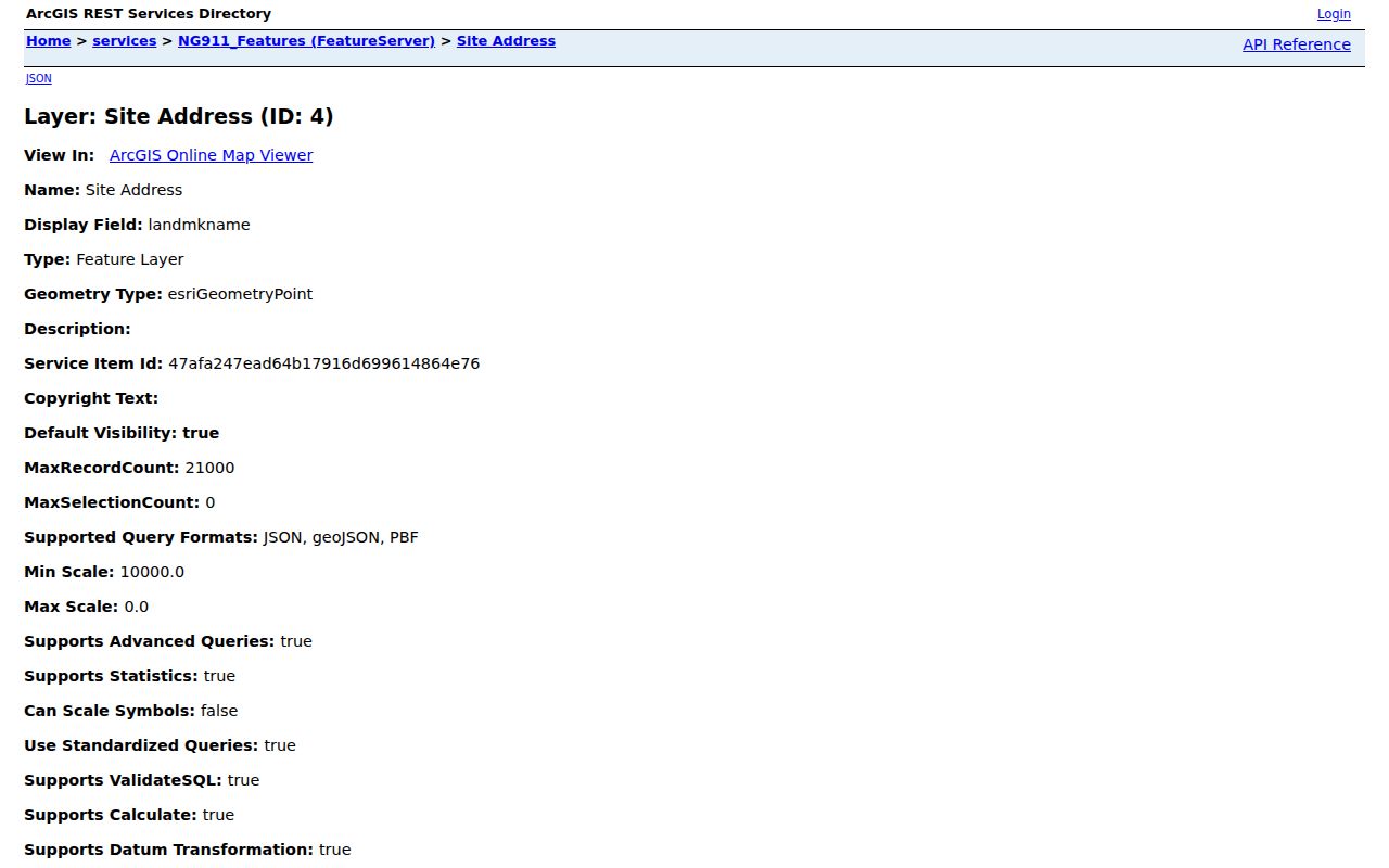
It is not a resident register. Use its post code and community as address attributes, then return to the parcel municipality and source record for any conclusion.
Brookfield Streets Meet Deed Records
The Register of Deeds search works best after Tax Listing supplies a legal description. Modern documents are fully indexed from January 1, 1994. Historic tract, subdivision, and condominium indexes span 1848 through 1994, while images of unindexed documents reach into early deed books. Remote name search is limited, but an in-office name search is available.
Search by instrument number, book and page, subdivision with lot and block, condominium with building and unit, section-township-range-quarter, or map description. Book and page values use four-digit zero placeholders. When the online index seems blank, an old page may contain no postings, and “Forwarded to” often points to the next page. This county-specific detail can save a false dead end.
The successful manifest capture below shows Waukesha County Tax Listing, the practical bridge from a street address to the legal description needed for deed research.
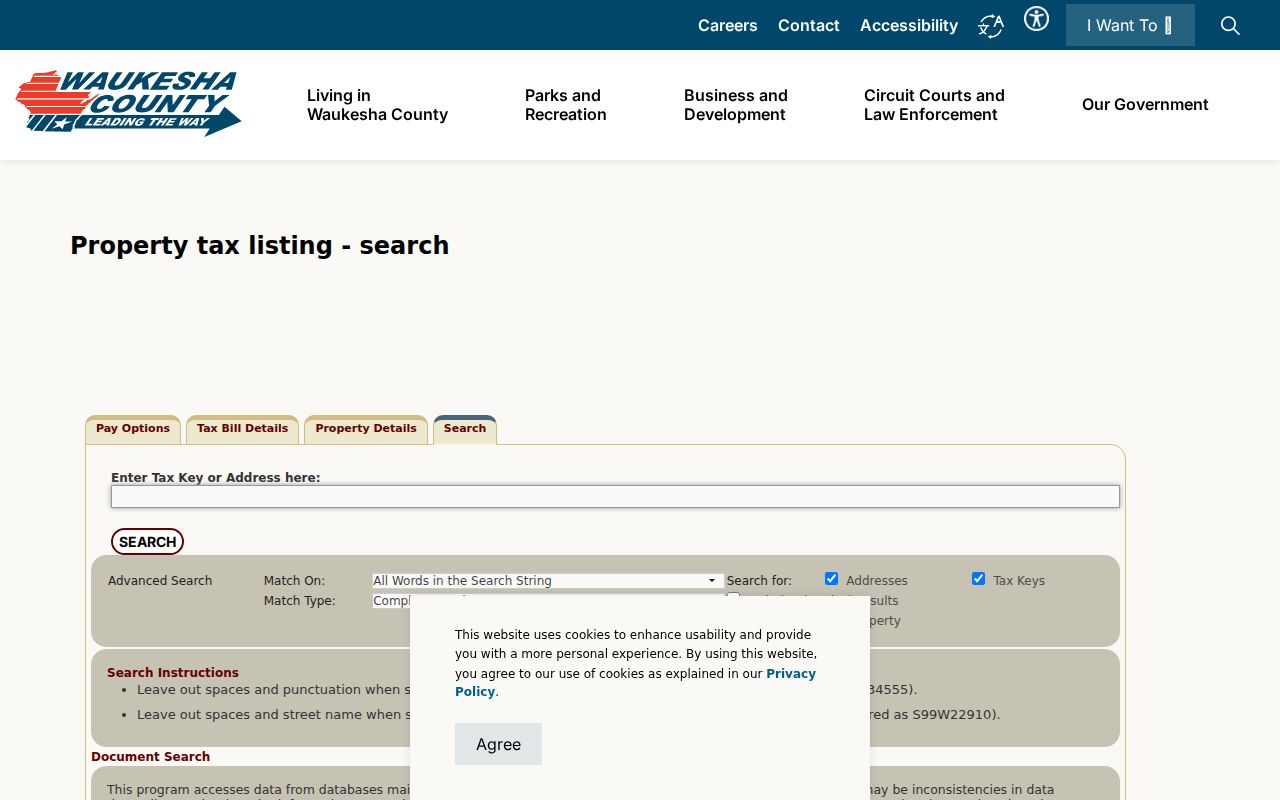
After saving that description, search and watermarked viewing in the deed system are free. Clean images have page fees, while certified copies require an office or mail request with the needed recording details and payment.
Brookfield Streets Through Time
The Wisconsin Historical Society's 1965 City of Brookfield map has a street index as well as roads, schools, parks, cemeteries, and parts of Elm Grove. Compare that dated view with current parcel and annexation layers. The City's 1993 Historic Inventory and 2008 update add old property IDs and construction-date research based on plats, assessor records, and local historical work.
No official comprehensive Brookfield street-renumbering crosswalk was found. If an old newspaper, deed, or directory address does not match today, request historic assessor cards, permits, plats, surveys, council material, or archive files. The Brookfield city directory collections can add dated name and address clues, but the original volume's geographic scope must be checked.
Note: Preserve a map's catalog ID, title, and date because online collection paths may change as the Wisconsin Historical Society updates its search system.
Brookfield Street Civic Records
Wisconsin MyVote accepts either first name, last name, and birth date, or street address, unit, city, and ZIP. Its purpose is registration, polling, ballot, absentee, and voting-history service. It is not a building roster. Unregistered adults, children, protected voters, and stale records make any street-level inference incomplete.
Wisconsin Statute §6.36 protects birth date, driver-license or Social Security data, confidential addresses, and accommodation fields. The public voter-file route remains subject to those limits. Brookfield's City Clerk is the local contact for wards and polling questions, while the County Clerk handles countywide election administration and canvass records.
Request Brookfield Address Files
Some address records have no public online index. Brookfield accepts verbal or written records requests by phone, mail, or electronic means under the Wisconsin Public Records Law, Wis. Stat. §§19.31 through 19.39. Name the likely custodian and describe a specific record, address, and time span. Ask for retained permit, inspection, planning, assessment-card, or address-change material rather than a broad list of people.
For county land records, use the public portal first, then the Register of Deeds office or mail route. In-office staff can provide the name-search access missing from the remote tool. Tax Listing staff maintain parcel lists and descriptions for 34 municipalities and can help route parcel questions. The Brookfield archive, library, Wisconsin Historical Society, and county museum are the next steps for old maps and local-history material.
Give the office a record request, not a research question. For example, identify a retained permit file by site address and date range, or ask for a historic assessor card tied to a tax key. City records may be inspected or copied unless an exception or balancing test applies. The state sets no one fixed response deadline. If the record sits with a different custodian, ask where it was transferred or which department created it. For ROD mail work, include the document number or volume, page, reel, or image reference, the required payment, and a stamped return envelope. That level of detail helps staff locate the source without creating a broad list of private names.
Limits of Brookfield Street Directories
Assessment data identifies the person or entity listed for tax purposes. It does not prove that person lives there. A deed shows a recorded land interest or transfer, not a full household. USPS validates mailing geography but warns that its result does not confirm a person or company at the address. NG911 maps an address point for dispatch, not a resident.
A Brookfield street directory also cannot reveal protected Safe at Home addresses, closed voter fields, sealed court facts, or private utility customer lists. An absent name may reflect source scope, a date gap, a trust or entity label, a protected record, or a person who simply is not part of that record system.
Lawful use. Use Brookfield street and address records for family history, property research, civic curiosity, or fraud prevention. Never use them to stalk, harass, intimidate, or harm anyone.